Monitor
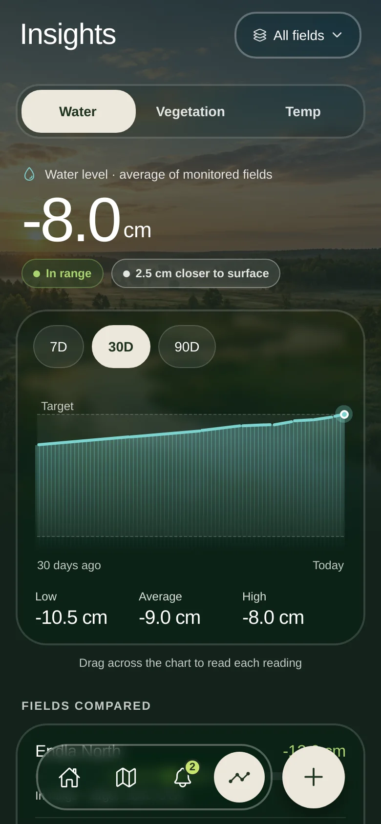
Water, vegetation and temperature for every field in one view, against the target band you set. Every reading says where it came from.
- Trends over 7, 30 and 90 days
- Sensor, remote and manual data kept apart
Peatland monitoring
Peato is the app for people who work on peatland. See what is changing on your land, get an alert when it matters, go and look, act, and measure what changed.
Peatlands cover about 3% of the world's land and hold twice as much carbon as all its forests.1 Drained, that carbon escapes. Kept wet, it stays, and the land can still grow something useful.2 You can't manage what you can't see.
The management loop
Water, vegetation and temperature for every field in one view, against the target band you set. Every reading says where it came from.
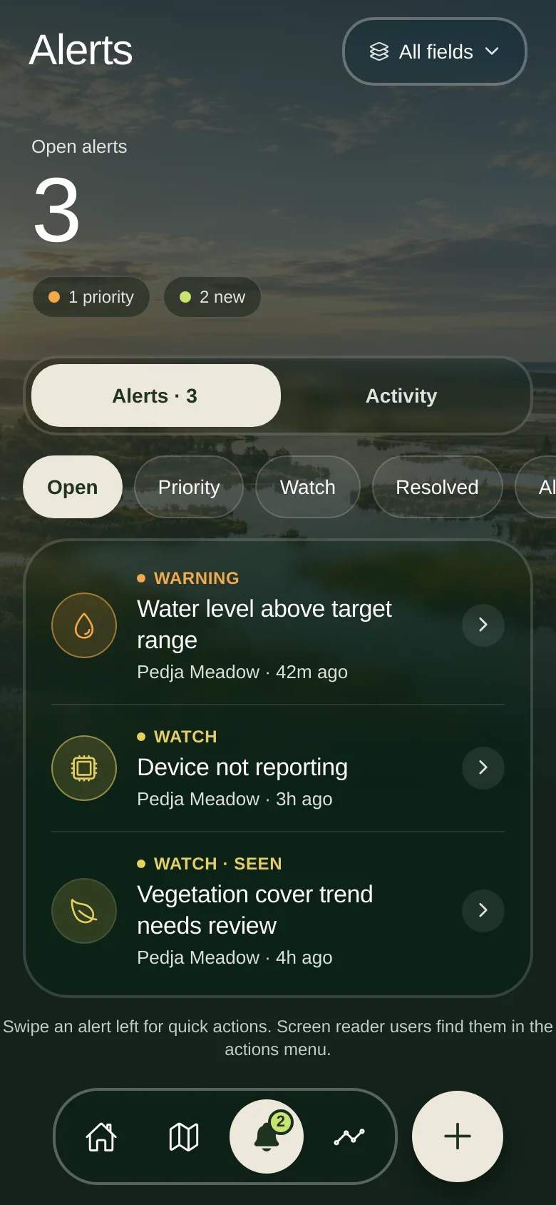
Plain, rule-based alerts: a water level outside your own target, or a device that stopped reporting. No black box and no guessed cause.
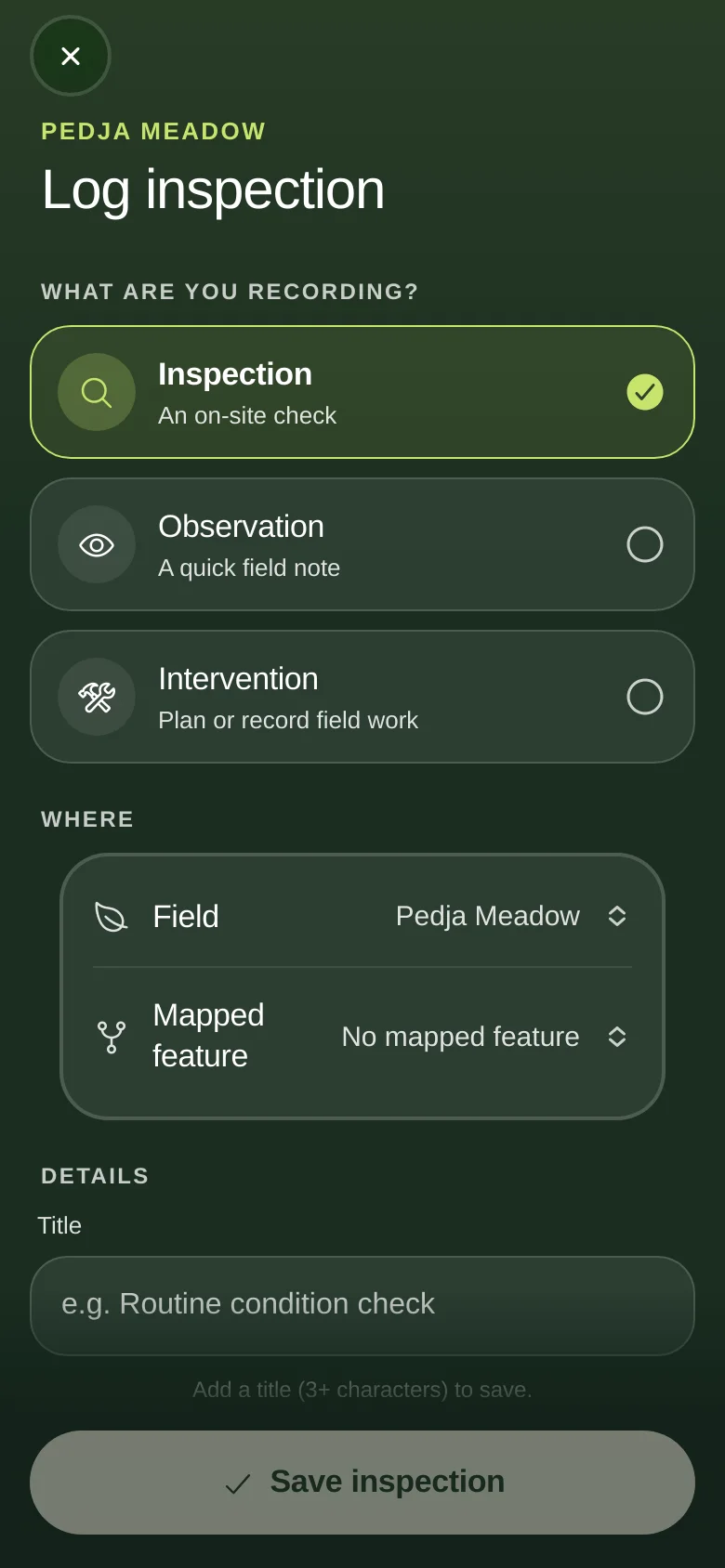
Open the alert, find the place, go and look. Record what you see: water, vegetation, infrastructure and notes, linked to the field.
Plan an intervention with a reason, an expected outcome and a follow-up date. Mark it started and completed. The history stays with the field.
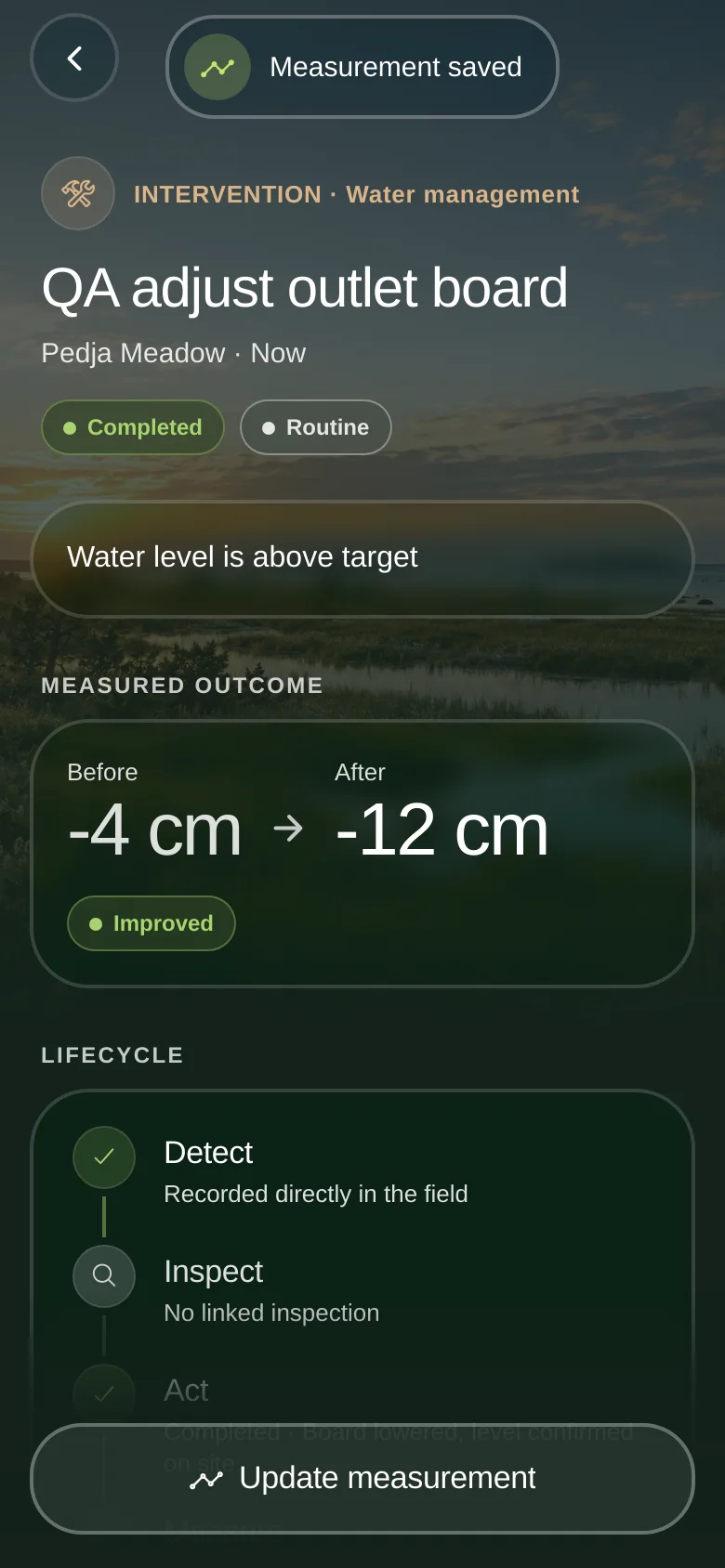
Log the reading afterwards. Peato puts before and after side by side, shows the trend, and keeps observation separate from cause.

The water table
Peat is mostly preserved by water. Too dry and it oxidises and sinks. Too wet and the land stops being workable. The target is somewhere in between, and it is different on every site.
Below target. The surface is drying, and this is where Peato raises a watch or warning so someone can go and check the water-control structures.
In the target band. This is what the loop is for: a measured level, a range you chose, and a record of what you did to keep it there.
Above target. Too close to the surface for the work planned. The alert points to the field, the reading and the next step.
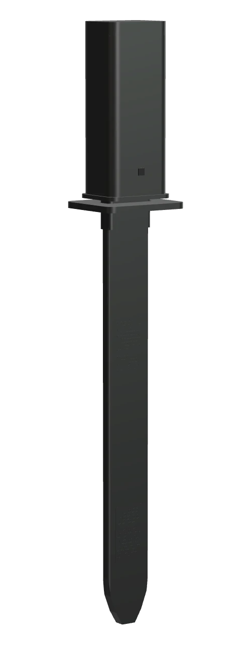
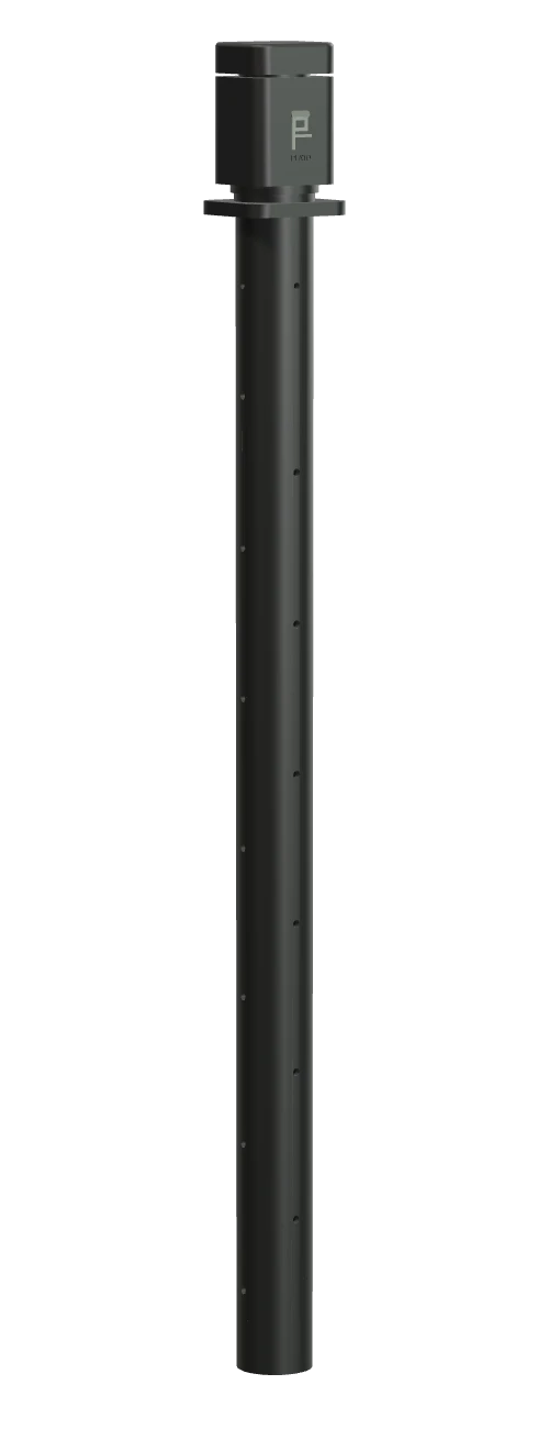
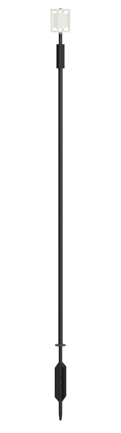 Water node reading
Soil pin
Climate node
Water node reading
Soil pin
Climate node
Target bands are set per site, with scientific input.
Many signals, one field
Satellite, maps, weather, sensors and a person with a notebook all see something different. Peato attaches each to the field, keeps its source visible, and never pretends they measure the same thing.
Peatlands
Built around real land: official orthophoto where available, satellite base maps, field boundaries you draw, and a home screen that follows the region of your main field.
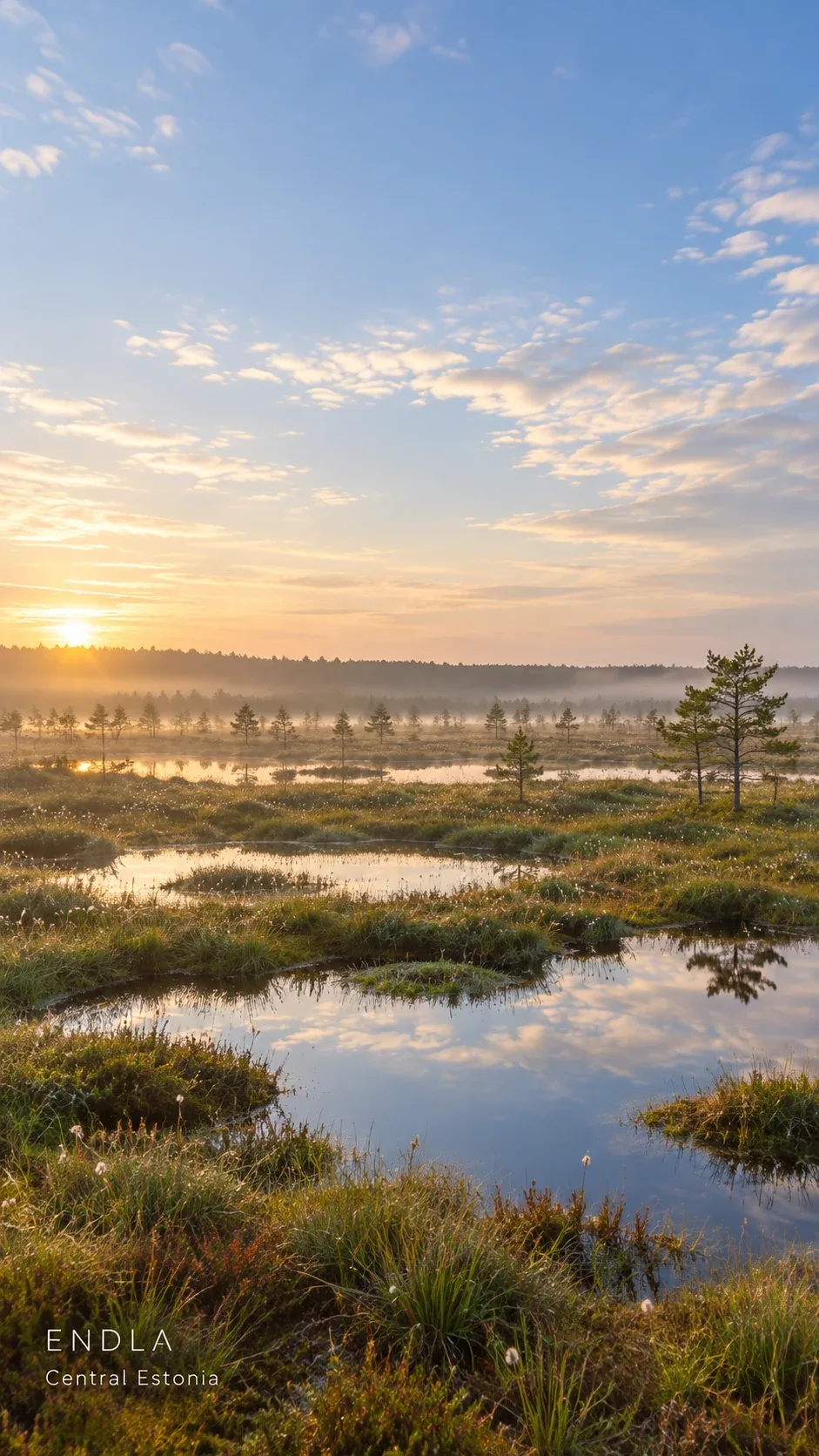
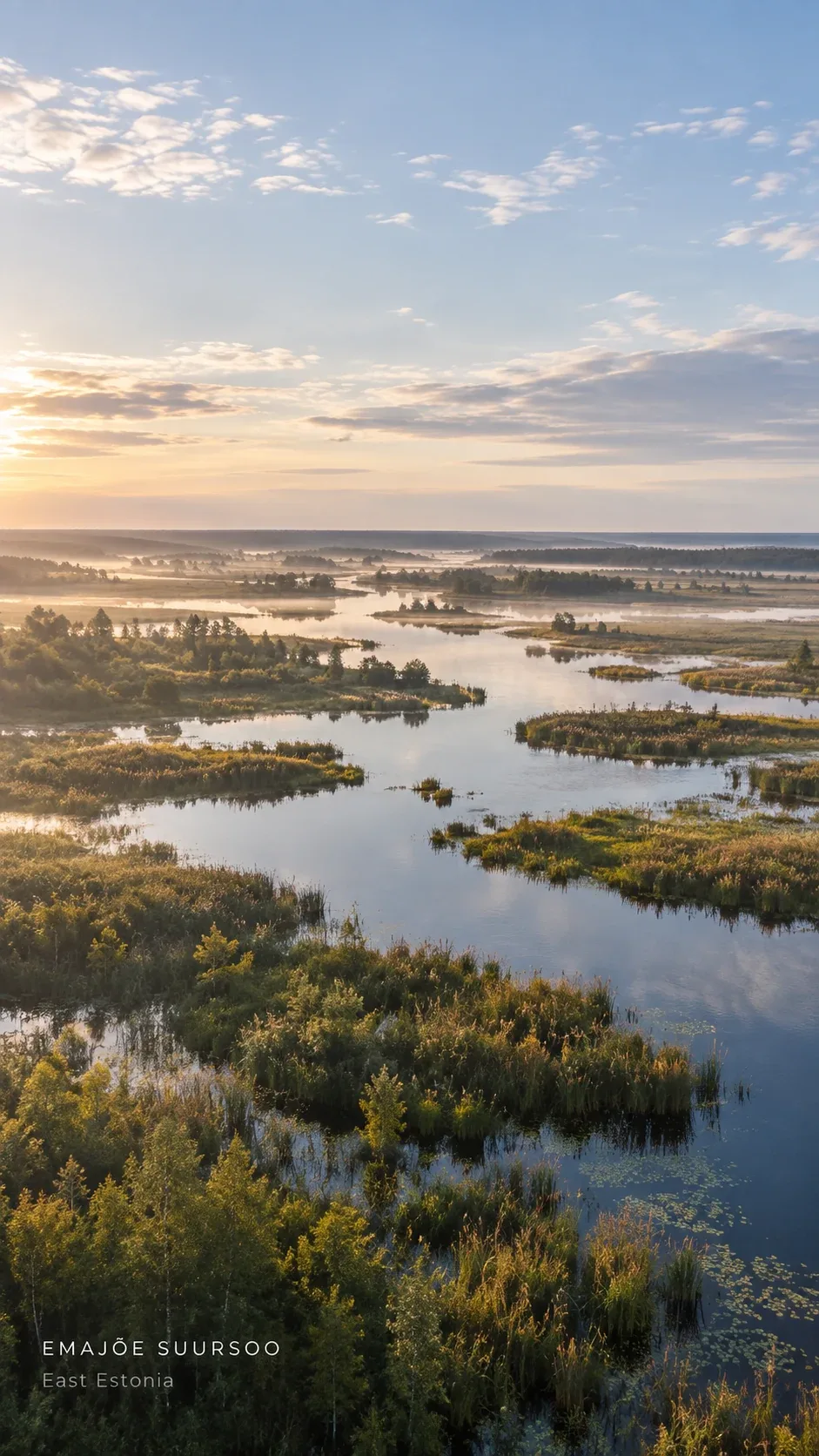
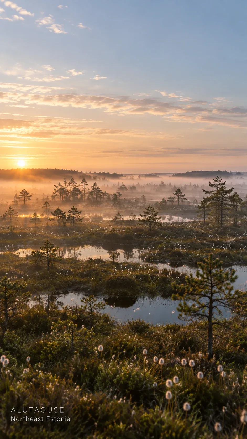
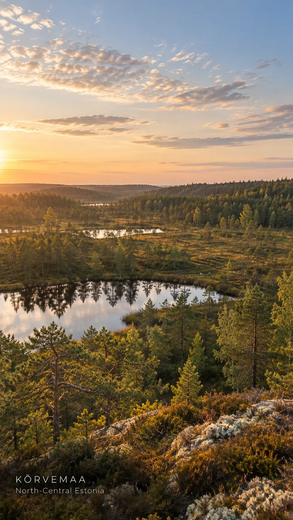
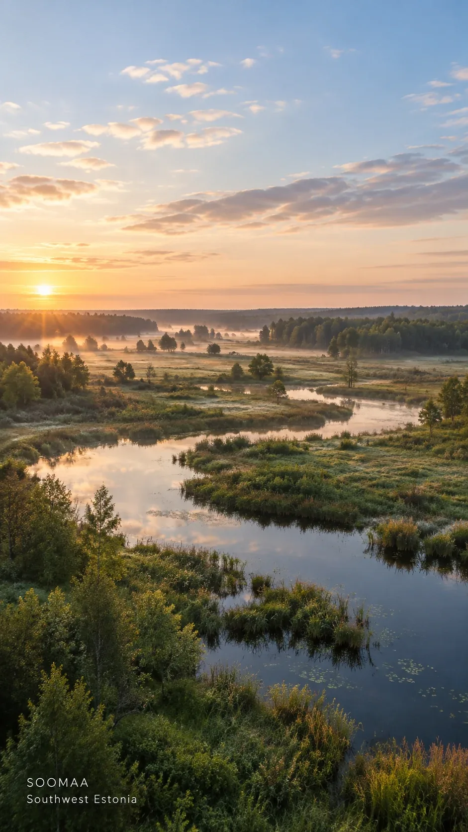
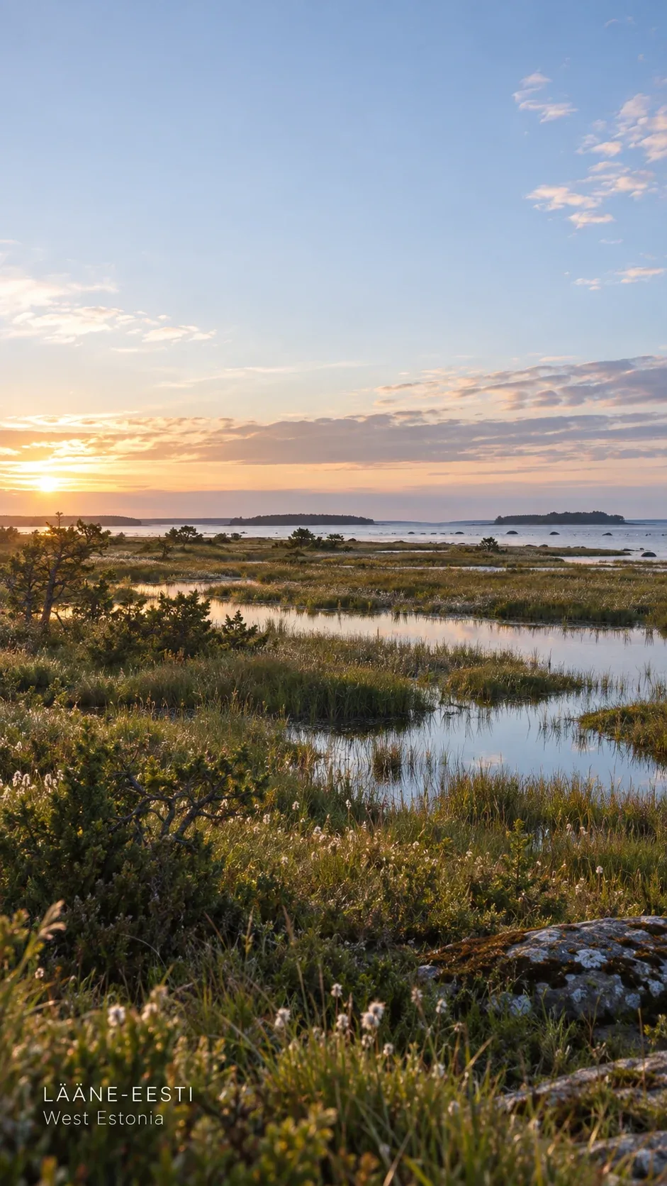
Each region brings its own data, land types and rules. Peato is built to adapt to them.
Paludiculture
Rewetting does not have to mean giving up the land. Paludiculture is farming on wet and rewetted peat, with crops that like the water. Peato is built to help the people doing it keep the water where it should be.
“The productive land use of wet and rewetted peatlands that preserves the peat soil.”Greifswald Mire Centre, definition of paludiculture
Hardware
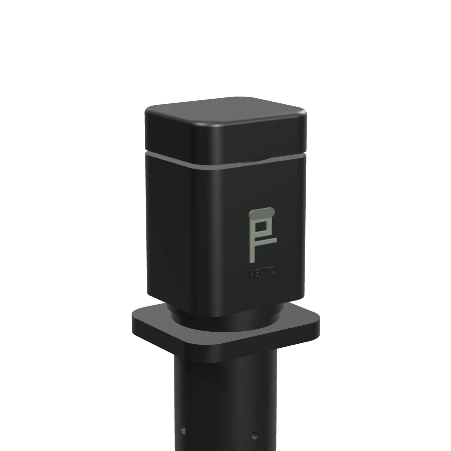
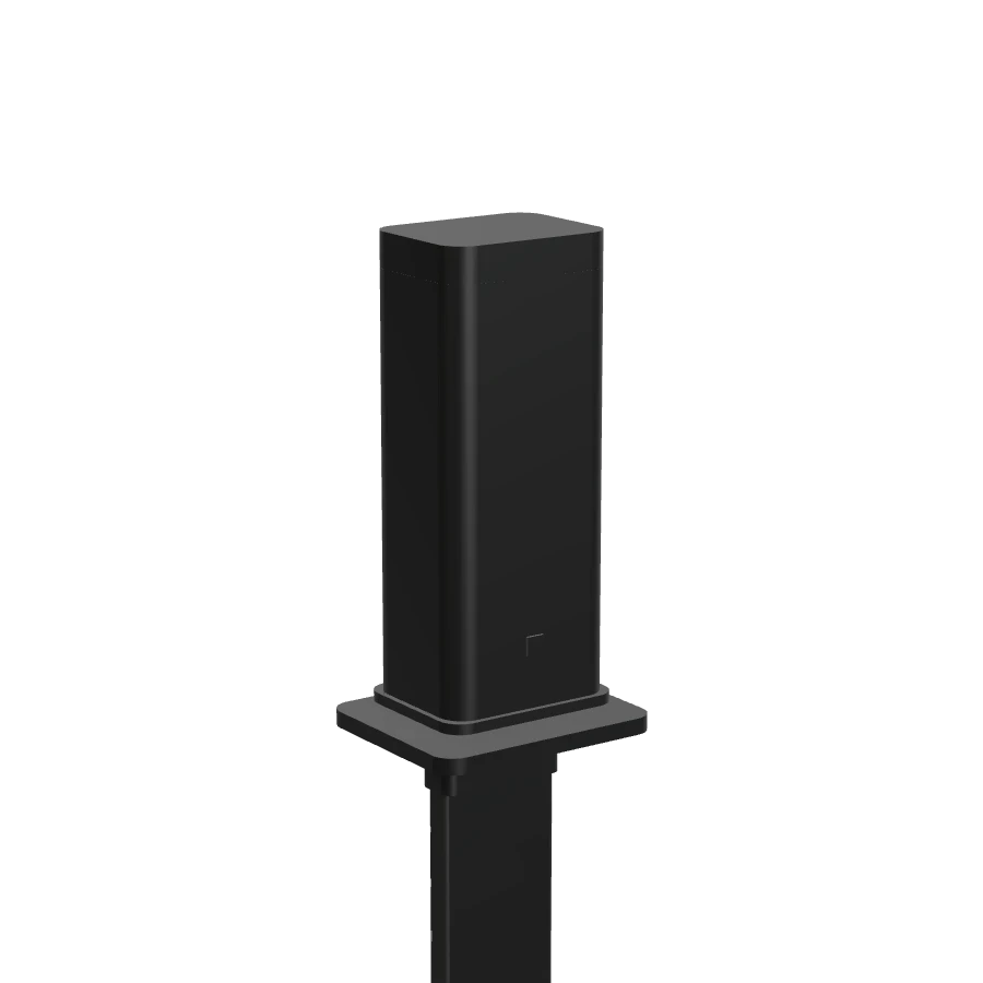
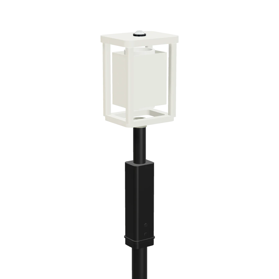
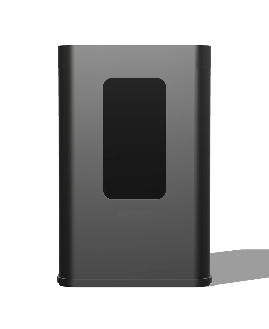
Four devices: a water node, a soil pin, a climate node and a field hub that collects and forwards their data. The app pairs and tracks them for you.
Where we are
Try it. Then tell us what is wrong.
Install the Android app or open the web app, draw a field, and walk the loop. Run a pilot with us if you manage peatland.