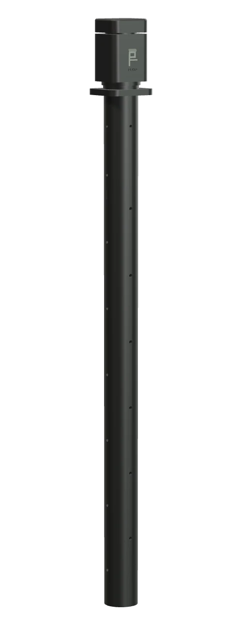
Peato Water
A node that sits on a pole in the peat and reports how deep the water table is. This is the measurement the rest of the app is organised around.
- MeasuresWater-table depth
- Shown ascm below ground
Hardware
Satellites see the surface. A sensor in the ground sees the water. Peato's hardware is designed to give each field a few trustworthy local measurements that the app can set against everything else.
A node that sits on a pole in the peat and reports how deep the water table is. This is the measurement the rest of the app is organised around.
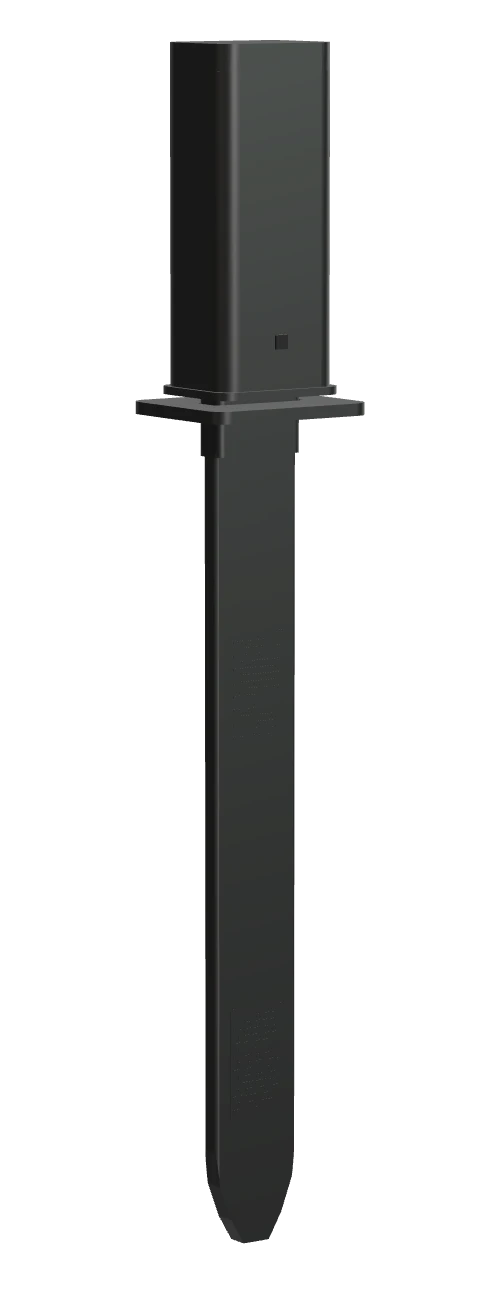
A pin pushed into the peat to follow moisture and temperature where the roots are.
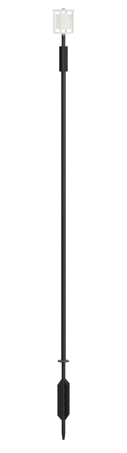
A mast for local air temperature and humidity, so a change in the water has some weather context.
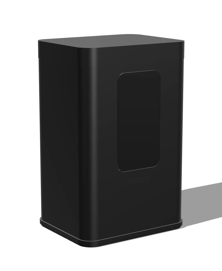
A field hub that gathers what the nodes measure, keeps it on the device, and passes it on when there is a connection. Remote peatland often has none, so losing data when the signal drops is not acceptable.
Design principles
Sites may have no power, no mast and no Wi-Fi. The design starts from that.
Store locally, forward later. A gap in the record should mean “no measurement”, not “lost”.
Installation and servicing guided in the app, with the SIM and network details out of the customer's way.
Each device exists because a decision in the app needs its number.
Work with us
If you build, install or study this kind of equipment, we would like to hear from you.